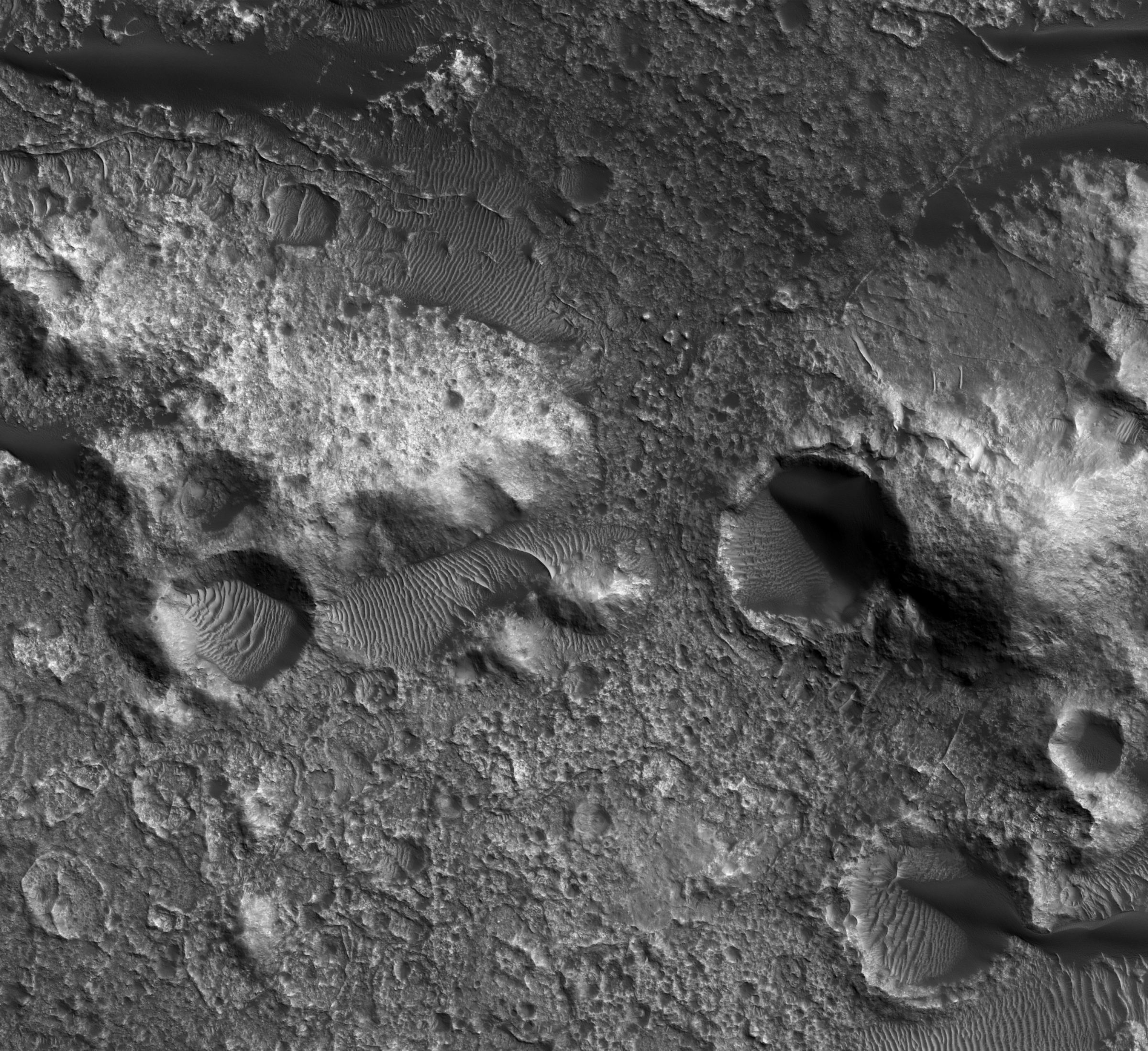
Then & Now: Mars surface from orbit
Left image:
On July 15, 1965, Mariner 4 transmitted this image of the Martian surface to Earth during its Mars flyby encounter. This photo was one of a series of 22 pictures taken with Mariner 4’s television camera. The photos were initially stored on a 4-track tape recorder, then transmitted to Earth over a period of 4 days. The spacecraft continued its solar orbit for three years, conducting studies of the solar wind environment and making coordinated measurements with its sister ship, Mariner 5, which launched to Venus in 1967.
Right image:
In September of 2018, NASA’S Mars Reconnaissance Orbiter (MRO) took this photo of a different region of Mars using its High Resolution Imaging Science Experiment (HiRISE) camera. HiRISE is a reflecting telescope and the largest ever to have launched on a deep space mission. It snapped this photo of northwest Terra Cimmeria, revealing the bedrock exposures on the crater floor. We are studying Terra Cimmeria because it contains gullies that could have been formed by recently flowing water. MRO launched on August 12, 2005, and arrived at Mars on March 10, 2006. It continues to explore Mars from orbit using its suite of science instruments to analyze minerals, hunt for subsurface water, study the atmosphere, and monitor global weather.


 Explore Worlds
 Find Life
 Defend Earth


