Bruce Murray Space Image Library

Topographic map of Ceres as of February 2015
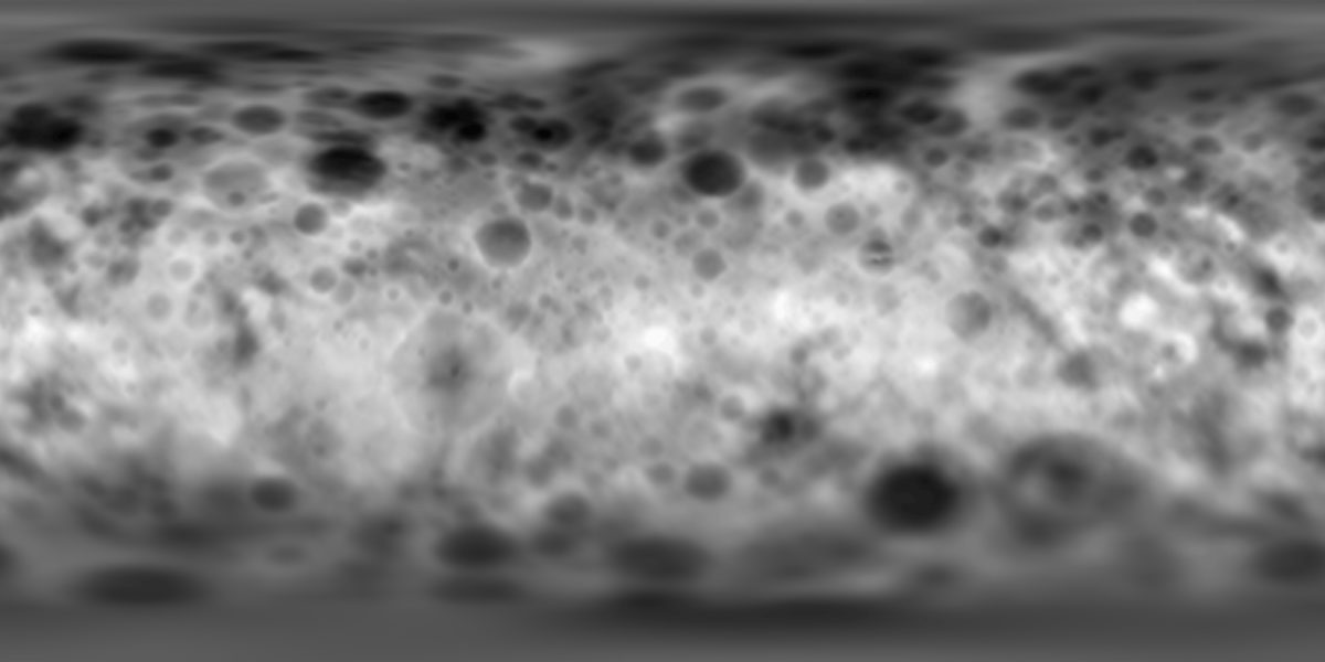
Topographic map of Ceres as of February 2015
Topographic map of Ceres as of February 2015 This map is a digital elevation model of Ceres made from Rotation Characterization 2 data gathered on February 19, 2015. Darker areas represent lower elevations, and brighter areas represent higher elevations. The map was originally posted here. NASA / JPL / UCLA / MPS / DLR / IDA / unmannedspaceflight.com user "JohnVV"

In this version of the map, the provisional quad names for Ceres have been plotted on top of it:
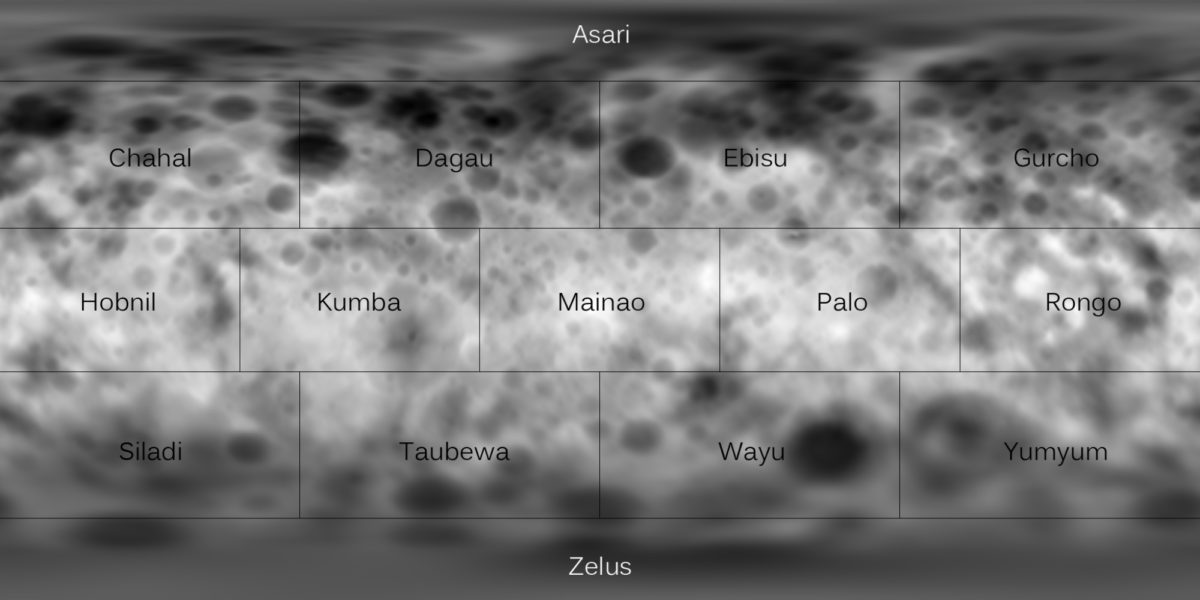
Topographic map of Ceres, with quad names
Topographic map of Ceres, with quad names Image: NASA / JPL / UCLA / MPS / DLR / IDA / JohnVV / Emily Lakdawalla