Jason Davis • Sep 06, 2019
Calling All Image Processors: Help Us Create a Top-Down View of LightSail 2
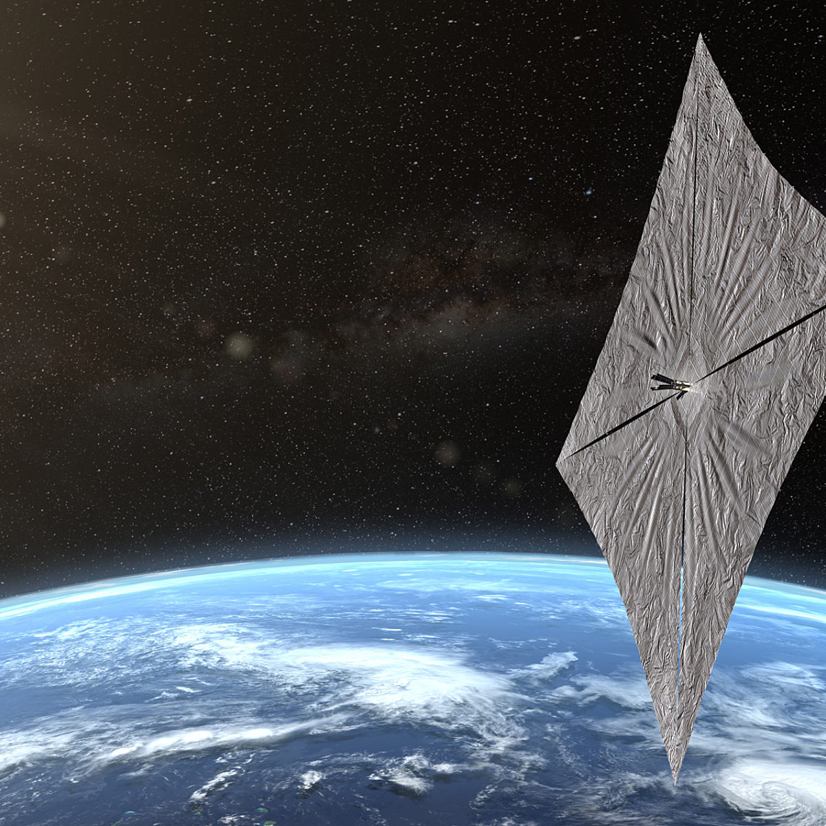
The Planetary Society’s LightSail 2 spacecraft is continuing to sail around the Earth on sunbeams. Since deploying its boxing ring-sized sail on 23 July 2019, LightSail 2's apogee—the high point of its orbit—has increased by roughly 8 kilometers (5 miles).
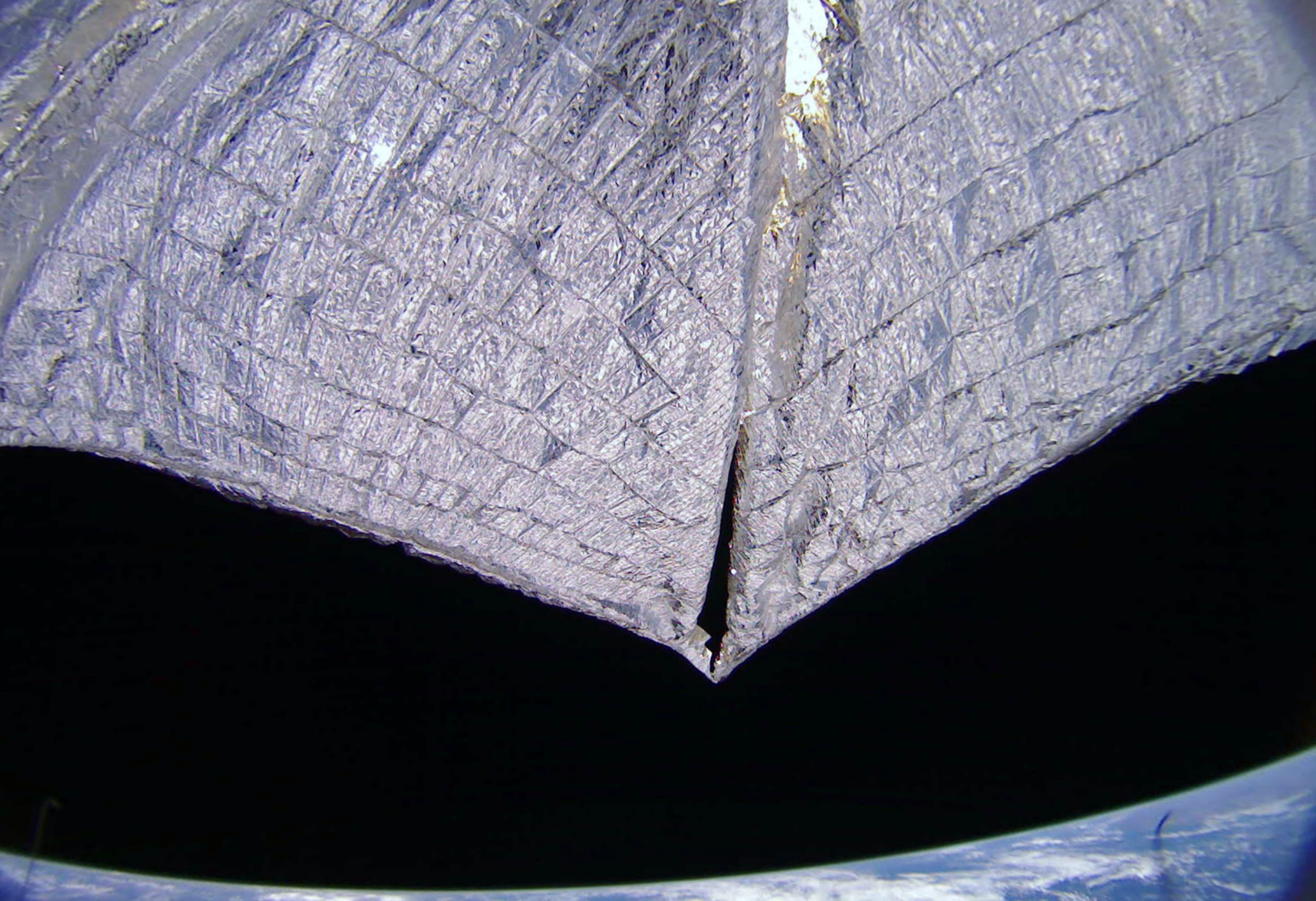
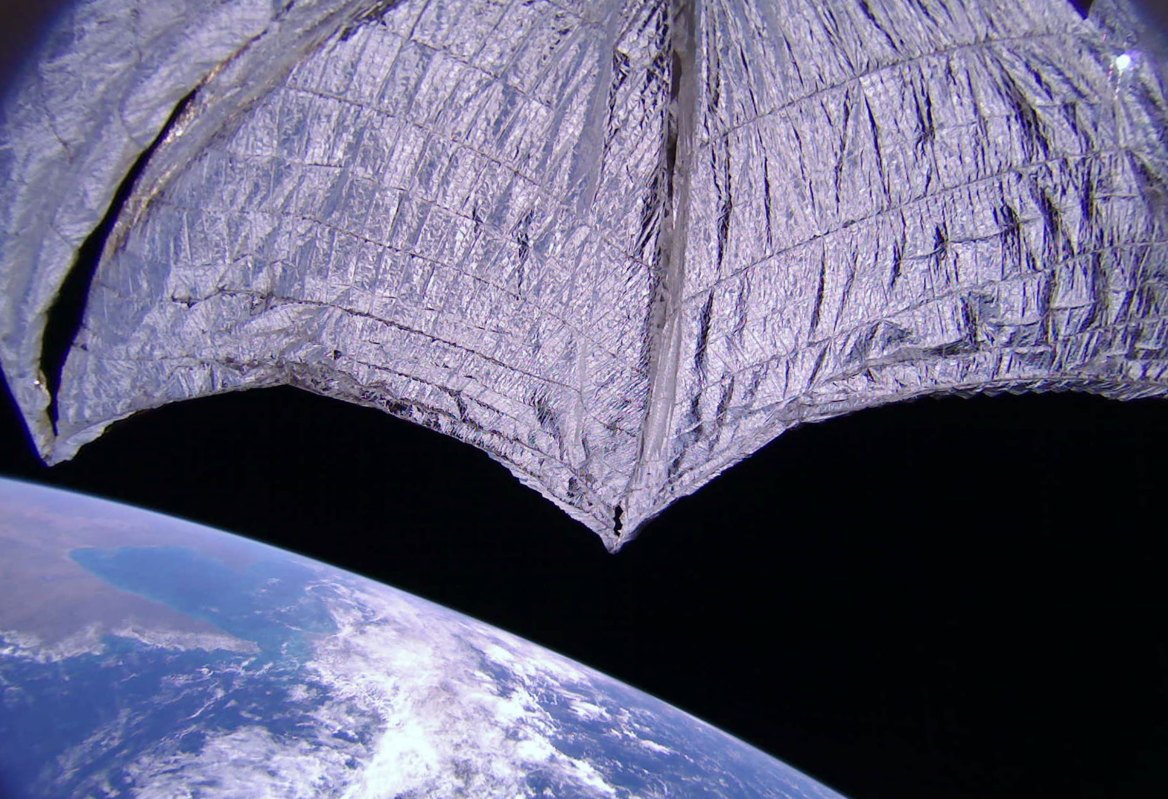
Mission controllers have been experimenting with commanding LightSail 2 to take images when not in range of its U.S.-based ground stations. On 29 August, the spacecraft snapped pictures with both of its cameras, a minute apart from each other, while flying north of Australia. The high-resolution images have since been downloaded, marking the mission’s first matched set with the solar sail fully deployed.


In the raw images (listed under mission day 59), you can see the tips of an adjacent solar panel. Though solar panel tips have appeared subtly in some of our previous images, this is the best combination of high-resolution imagery and good lighting for the panels that we've had to date.
LightSail, a Planetary Society solar sail spacecraft
LightSail is a citizen-funded project from The Planetary Society to send a small spacecraft, propelled solely by sunlight, to Earth orbit.
Since the cameras face in opposite directions, and have 185-degree, fish-eye fields of view, it should be possible to combine the images, remove the lens distortion, and create an approximate top-down view of the sails.
Want to give it a try? You can download the raw, high-resolution images from mission day 59 here. For more details on the exact positions of the cameras with respect to the solar sail, see page 3 of our LightSail schematics. Lens specifications can be downloaded here, and camera sensor specifications are here.
We'd love for you to share your work with us! You can tag us on Twitter or email processed images to [email protected]. If we add your work to our LightSail 2 Media Gallery, we'll be sure to give you the proper credit.
Support our core enterprises
Your support powers our mission to explore worlds, find life, and defend Earth. You make all the difference when you make a gift. Give today!
Donate

 Explore Worlds
 Find Life
 Defend Earth


