Emily Lakdawalla • Apr 19, 2011
Mercury's Weird Terrain
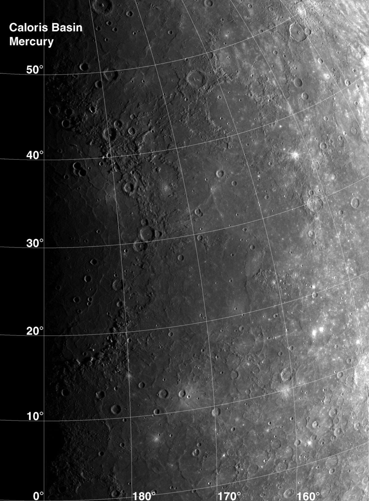
When Mariner 10 flew past Mercury, it caught an immense impact basin lying half in and half out of sunlight, which they named Caloris. Even with only half the basin visible, scientists knew it was one of the largest in the solar system.

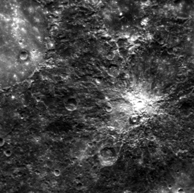
Geologists had to wait more than 25 years to see the rest of Caloris, and when they did it turned out to be even bigger than they had thought. But the fact that Caloris was only half in sunlight was fortuitous in one sense, because it meant that the spot on Mercury that was exactly opposite the area of the Caloris impact was also partially in sunlight. That spot looks weird. In fact, this area has been referred to since Mariner 10 as the "weird terrain" on Mercury. And MESSENGER's orbital path has finally taken it over the weird terrain to get a good view:

The MESSENGER photo doesn't make it immediately obvious what is going on geologically, but it does confirm that this "antipodal" terrain looks different from other areas of Mercury.
But why should terrain antipodal to Caloris look unusual? It represents the spot on Mercury that is as far as you can get from the impact site, so it seems like the spot that would be least affected by a giant impact. Surprisingly, the opposite is true: the point on Mercury that's farthest from the Caloris impact actually gets magnified effects; it's worse to be 180 degrees away from an impact than it is to be 175 degrees away. There are two reasons why; one comes from above, and the other from below.
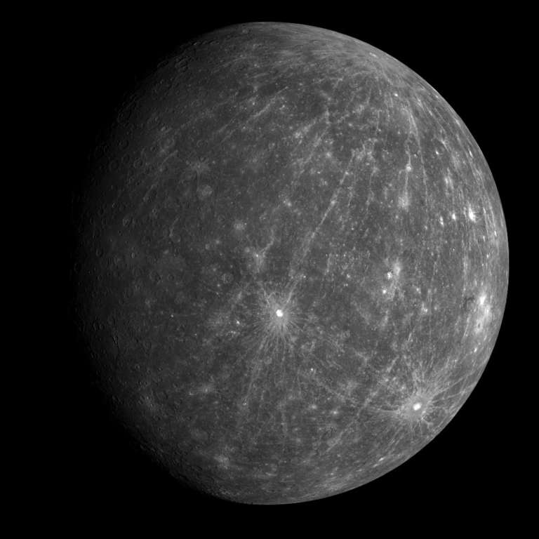
The first has to do with where the ejecta flies. Ejecta from an impact travels outward in all directions, on roughly ballistic trajectories. For small impacts, those ballistic trajectories result in a splash-like deposit around the crater, a widening circle of deposits. But if the impact has enough energy, the material can go so far around the spherical planet that the ballistic trajectories start to converge again. You can actually see an example of this on Mercury, with the bright rays of the crater Hokusai separating and then converging again as they nearly meet at a spot antipodal to the impact. And that impact didn't even make a very big crater; the convergent crashing of the ejecta from Caloris would have been huge.

Ejecta travels above an impact. Below the impact, you get shock waves, which are very much like earthquake waves (specifically, the compression type of earthquake waves called P waves). A shock wave travels outward in all directions, and if that's all that happened there would be nothing special about the antipodal point. But waves, just like light, sound, and water waves, reflect and refract whenever they reach boundaries between two materials.
For Mercury there's two key boundaries: the boundary between planet and space (that is, the surface), and the boundary between the solid mantle and molten outer core. As the shock waves reflect from the surface, they bounce right around the planet to converge at the antipode. What's more, when the shock waves go from mantle to molten core, they slow down, refracting in a way that tends to focus them at the antipode; in a way, Mercury's core acts as a giant lens, focusing the shock waves to a spot antipodal to the impact site. The waves interfere constructively, piling on top of each other to shake the ground with much higher energy at the antipode than just a few degrees away from it.
This has actually been recorded on Earth, although it's rare. Seismic stations antipodal to large earthquakes have recorded larger than expected ground shaking. Detection is rare for several reasons. For one thing, Earth isn't a perfect sphere, so the convergence isn't perfect. Also, you have to be really close to 180 degrees away from the original earthquake, and the odds aren't great for there to be seismic stations located within two degrees of the antipodal point to a great big earthquake. It doesn't help that vast majority of land on Earth has ocean at the antipodal point.
Here's a well-written term paper by R. Brian White that explains all this in more detail, with diagrams showing the converging paths of the earthquake waves.
Support our core enterprises
Your support powers our mission to explore worlds, find life, and defend Earth. You make all the difference when you make a gift. Give today!
Donate

 Explore Worlds
 Find Life
 Defend Earth

