Emily Lakdawalla • Nov 03, 2009
Data from Kaguya's prime mission to the Moon has been released
Yesterday, the Japanese space agency announced the public release of the data from the primary mission of the Kaguya (a.k.a. SELENE) lunar orbiter. The release covers the period from December 21, 2007 to October 31, 2008, and includes data from all of the science instruments (which excludes the HD camera, not a science instrument). This release formally opens up the data for use by all scientists and enthusiasts around the world, not just the Kaguya science team, and will be a rich resource for lunar scientists.
The data can be accessed through form-based or map-based interfaces, neither of which I found to be entirely intuitive. So rather than trying to figure it out myself, I posted on unmannedspaceflight.com about the data release and sat back to wait for those guys to crack it open. The first thing of interest to most of them was Kaguya's new topographic map of the Moon derived from its Laser Altimeter experiment, which was promised to be vastly superior to anything we have had in the past.
It appears that Kaguya has delivered on that promise. The guys at unmannedspaceflight are saying that the new topographic map delivers much more realistic-looking 3D-rendered views of the Moon than they have been able to produce previously. First, here's a qualitative look at the map. This version was produced from the archived data by Doug Ellison. It's centered on the lunar farside, which is where on the Moon you can find the most exciting action, topographically speaking.

This next map is identical to the previous one; I've just shifted it 180 degrees to center it on the much subtler topography of the nearside.

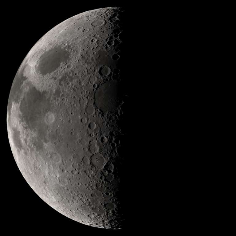
Here's a couple of example simulated views of the Moon made with this topographic map:

This one is really beautiful. On the left, under high sun, we see the contrast between bright-colored highlands and dark-colored mare; at the center, under low sun, those differences evaporate (and there's almost no mare basalt anyway) so we see light Sun-facing crater rims and dark shadows.

Bjorn produced the rendering below to show the resolution limit of the Kaguya data set. Get too close to the simulated "Moon," and the crisp topography begins to melt into blobbiness; the detail of the topographic map is not high enough to support a view this close.

None of us is sure if the data being used here represents the maximum resolution that can be obtained from the Kaguya laser altimeter data set; whether it is or not, Lunar Reconnaissance Orbiter's LOLA instrument should be able to improve on it.
I'll leave you all with this neato rotation movie that Jason Perry put together.
The postscript that has nothing to do with Kaguya: There was a MESSENGER press briefing today with some cool results from the third Mercury flyby. It looks like I'm not going to get a post on that done today -- hopefully tomorrow.
Support our core enterprises
Your support powers our mission to explore worlds, find life, and defend Earth. You make all the difference when you make a gift. Give today!
Donate

 Explore Worlds
 Find Life
 Defend Earth

