Jonathon Hill • Jul 06, 2018
Walking on Mars: Bringing the Red Planet Down to Earth
If studying Mars is an endurance race, then NASA’s Odyssey spacecraft is definitely in the lead! Since arriving at Mars on October 24th, 2001, it has completed over 73,000 orbits of the Red Planet, returned over 1.5 terabytes of science data, and relayed images from four different surface missions (Spirit, Opportunity, Phoenix and Curiosity).
During that time, the THEMIS (THermal EMission Imaging System) camera onboard Odyssey has collected over 230,000 infrared images of the surface at a resolution of 100 meters per pixel. As part of my PhD research, I sorted through all those images and used the best 24,000 images to create a global daytime infrared mosaic of the entire Martian surface, which was released in 2017.
However, while our Mars science colleagues found the map very useful, we quickly found that it was difficult to use this global map for education and public outreach activities, especially with children. In a world where you can pull up Google Maps, zoom in on your house and see your pixelated-self mowing your lawn, using a computer screen to zoom in on features that are only the size of a football field can seem almost…anti-climactic, even when it’s on Mars.
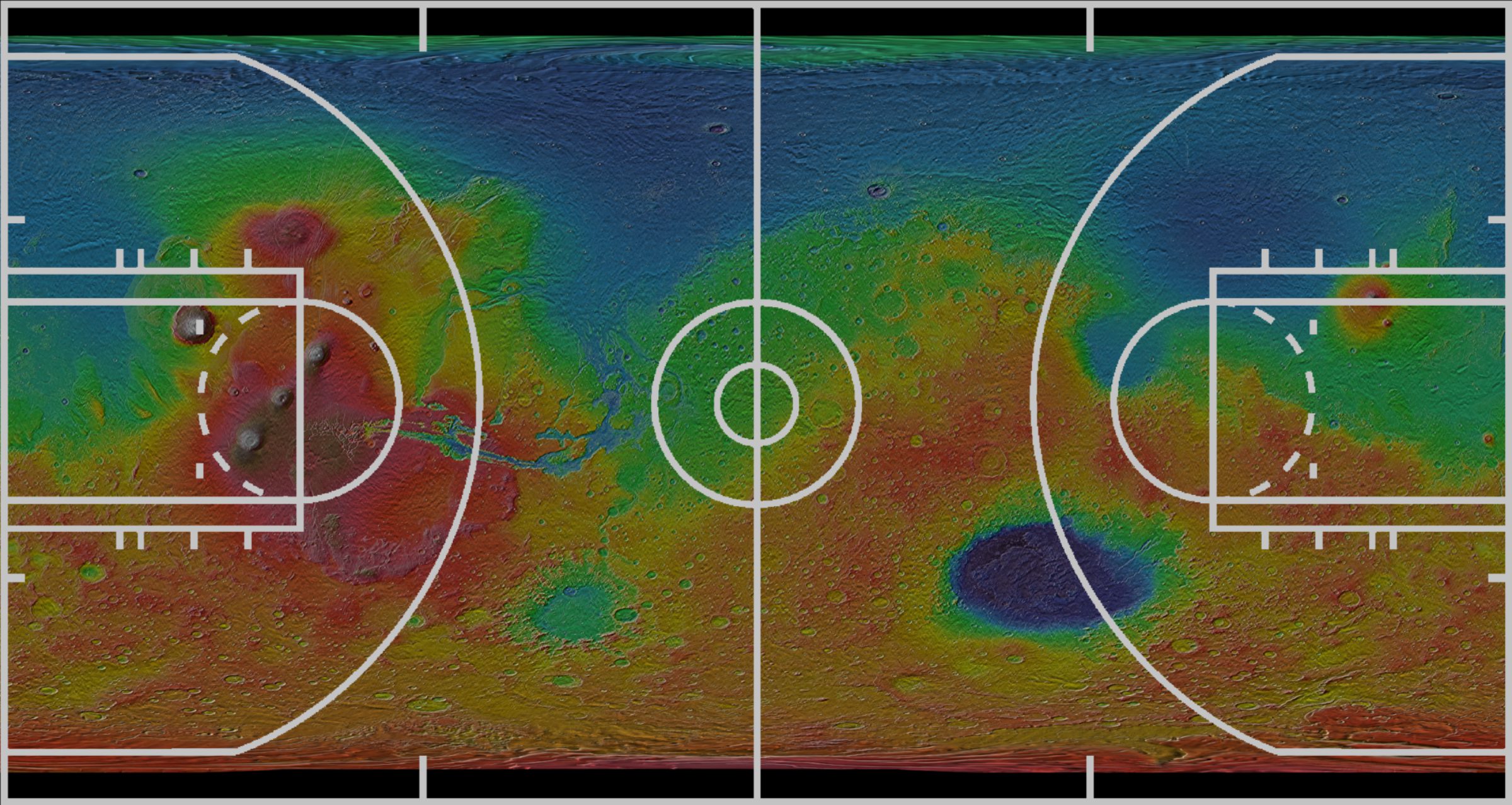
So, to better communicate the true scale of this new global map of Mars, we decided to colorize it using MOLA (Mars Orbiter Laser Altimeter) elevation data and then print the entire map at near-photo quality (~200 pixels per inch). The resulting map is 47.5 feet by 95 feet…approximately the size of a basketball court!

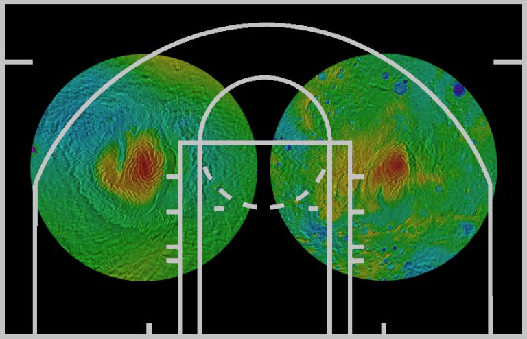
We also printed north and south polar maps centered at each pole, approximately 15 feet in diameter, since the poles are distorted in the rectangular map projection used for the global map.

Part of our inspiration for printing this giant Mars map came from the National Geographic Society’s Giant Maps program, which prints large-scale maps of the Earth to help teach geography and map-reading skills. We chose to print our global Mars map on the same vinyl material used by the Giant Maps program, which is durable enough that people of all ages can walk on the map (in socks only, no shoes or bare feet!) without causing damage and “explore” Mars for themselves.
So far, we have displayed the “Walk on Mars” map at three education and outreach events, all of which were extremely successful. Our first event was Arizona State University’s annual open house, where we displayed the map on a basketball court at the student recreation center. Over 300 participants of all ages were able to walk on the map and talk with Mars experts who were stationed at important locations (Olympus Mons, Gale Crater, etc.) across Mars.
Our second event was held at a local elementary school, where over 250 students from grades 4-8 were able to explore the map during their science periods. The students were given a guided tour of Mars and were then broken into small groups to participate in a landing site scavenger hunt, where they were given the challenge of locating the landing sites of all 13 past surface missions (successful and unsuccessful) using only latitude, longitude and local geography to guide them.

Our third event was at the Lunar and Planetary Science Conference in Houston, Texas. Planetary scientists from all over the world were able to walk across “Mars” and view the areas they have studied, which led to numerous scientific debates, Mars selfies, and even an impromptu game of Mars twister! (Right foot on a valley network!)
We are also planning to display the map at the 42ndCOSPAR Scientific Assembly in Pasadena, California this summer, so that planetary scientists from around the world will have the opportunity to “walk on Mars”.
Now that we’ve demonstrated that the map is an extremely valuable education and public outreach tool for audiences of all ages and all Mars-knowledge levels, Arizona State University and the THEMIS team are looking for more opportunities to use the map to teach people about the Red Planet. Do you know of a school, science center, museum or other venue that would be interested in displaying the map? If so, you can learn more about the map by visiting our website at www.walkonmars.space, or you can contact me directly at [email protected].
Support our core enterprises
Your support powers our mission to explore worlds, find life, and defend Earth. You make all the difference when you make a gift. Give today!
Donate

 Explore Worlds
 Find Life
 Defend Earth


