Jason Davis • Jun 19, 2015
Thank You, LightSail Trackers
During LightSail’s brief 25-day test mission, we encouraged space enthusiasts worldwide to train their radios, cameras and telescopes on the sky to help track our solar sail spacecraft. The response was incredible, and we’re already thinking about ways we can better support your efforts for next year's flight.
Early on, I started making a conscious effort to drop the word “amateur” when describing the public radio and astronomy communities. When groups like SatObs.org started providing orbital predictions that were good enough to use in our own ground tracking efforts, the “amateur” tag felt like a disservice to your skill and dedication.
During the mission, my inbox overflowed with beacon packets, screenshots and photographs. I still have a backlog of general inquiries I need to work through, so I sincerely apologize to those of you that wrote in and didn’t get a timely answer. The level of interest was overwhelming and humbling.
This is an attempt to recognize everyone in the radio and astronomical community that helped track LightSail. If you sent us something but don’t see your name listed, please chime in on the comments and I'll try to add you to the list. Also let me know if you want your radio call sign to be added to your entry.
SatObs team
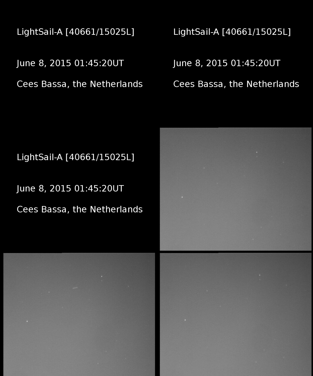
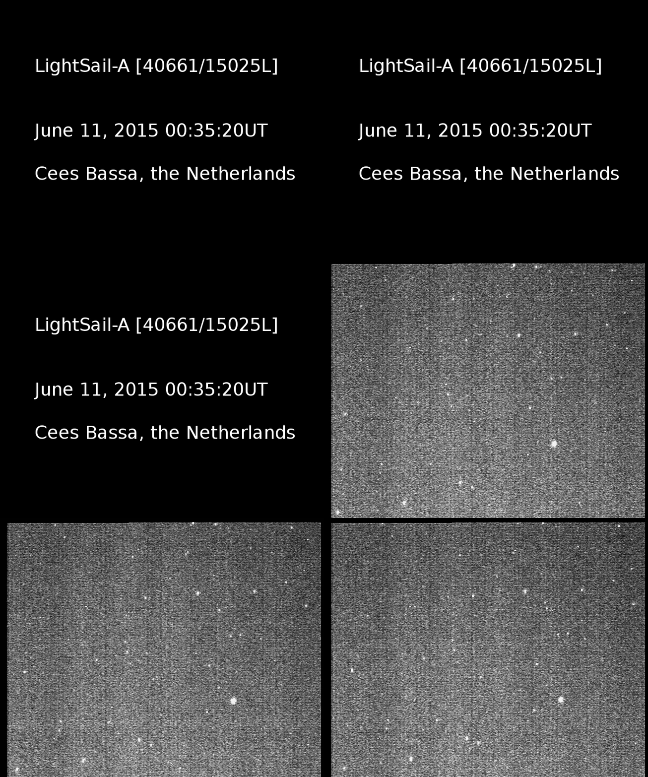
Ted Molczan, Cees Bassa and Scott Tilley contributed dozens of observations over the course of the mission. Ted created a special SatObs.org page dedicated to LightSail that was updated continually with new orbital predictions, and the team's orbital plots were an invaluable supplement to those provided by the Joint Space Operations Command.
Thanks, Ted, Cees and Scott, for often knowing our spacecraft's position better then we knew it ourselves.
Here's just one sample of Scott's Doppler plots:
Cees created videos of a few of his observations:
The SatObs team credited their success to some of the following individuals that also sent in observations:
Ron Dantowitz, Clay Center Observatory
Andriy Makeyev in Crimea sent in videos of two laser ranging attempts. Here is one of them:
LightSail laser ranging attempt, June 7 (CubeSat form) This video, captured by Andriy Makeyev in Crimea, shows LightSail 1 crossing the sky on June 7, 2015 at 00:20:32 UTC prior to solar sail deployment. The bright beam was used for laser ranging (no echoes were returned from LightSail). Details: EVS VNC-753-H2 CCD camera, 12cm refractor (FOV is 36'x27'). SLR station Katzively-1893, 44.3932°N, 33.9701°E, 68.7 m.Video: Andriy Makeyev
Nikolay Koshkin of the Astronomical Observatory of Odessa University sent in multiple light curves showing LightSail's brightness changes as it tumbled. Here is his last observation, where the rotational rate had increased:

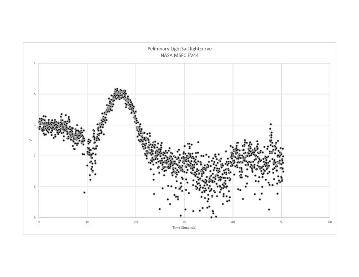
Aaron Kingery, Bill Cooke and Robert Suggs, NASA Marshall Spaceflight Center:
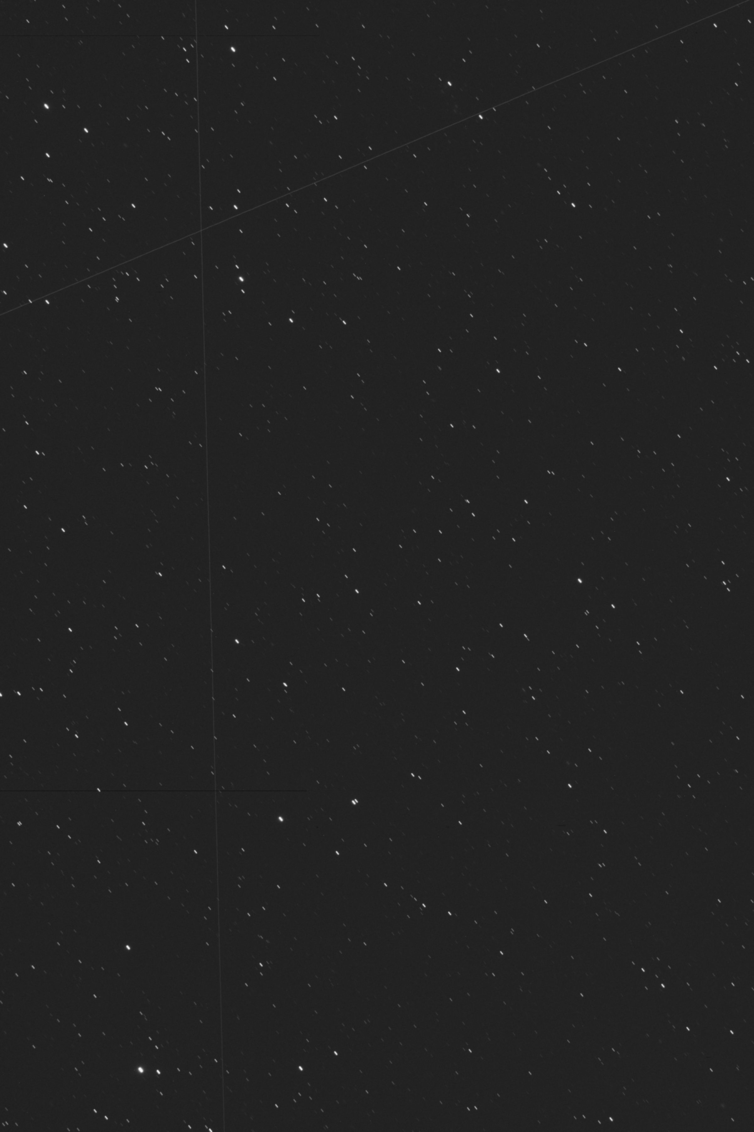
LightSail sails across the sky This video, captured by observers at NASA's Marshall Space Flight Center, tracks LightSail as it flies across the sky on June 8 following solar sail deployment. Observers: Aaron Kingery, Bill Cooke and Rob SuggsVideo: NASA MSFC
Brad Young (visual)
Alberto Rango (visual)
Leo Barhorst (camera)
Kevin Fetter (camera)
Bram Dorreman (visual, photometry)
Elena Katkova of Kazan State University used a wide-field survey telescope called the MMT in Russia:


Packet hunters
The following people recorded and submitted LightSail beacon packets. These are the automated telemetry chirps that contain health and status information from the spacecraft:
Mark Rutten, Ben Jamali and Iain Cartwright, Australia Defence Science and Technology Organisation (radio and optical tracking)
Ken Swaggart, Lincoln City, OR, W7KKE (first decoded community packet)
Mario Fazio, Argentina, LU4EOU
Eric Oosterbaan, Netherlands, PA2EON
Tetsurou Satou, Japan, JA0CAW. Tetsurou also tweeted many passes:
LighSail 21:20 UTC heard over Japan @jasonrdavis not decoded #LightSail #Cubesat pic.twitter.com/Cxz4G5X60q
— JA0CAW (@JA0CAW) June 13, 2015Mike Rupprecht, Germany, DK3WN. Mike also blogged and tweeted his observations:
New post: LightSail is still continuously transmitting http://t.co/xoBtFB78Ly all my nightly passes at 23:43 UTC, pic.twitter.com/5Hy0A4I4IG
— Mike Rupprecht (@dk3wn) June 12, 2015Edgar, Germany, DF2MZ
Radim Mutina, OM2AMR
Edson W. R. Pereira, Brazil, PY2SDR
Finally, Cal Poly's Justin Foley gets credit for tracking LightSail from two hemispheres. Justin was in Australia during launch, but came home and worked the LightSail graveyard shift with Dr. John Bellardo for many nights after orbital operations intensified. (We could write a whole blog post dedicated to Justin, John and the rest of the team.) Justin also wins the best accompanying hashtag.
All ready to track #LightSail with portable ground station from Canberra, Australia! #watchoutfortheroos pic.twitter.com/Jb9LVkWdnh
— Justin Foley (@justindfoley) May 20, 2015DSLR night owls


Radio listeners
Here are some more folks that heard LightSail's signals:
Nico Janssen, PA0DLO, was one of the first trackers to identify which of the ten CubeSats launched May 20 was LightSail. He correctly identified us as ULTRASat 7, using detailed Doppler data.
Ulf Bertilsson:
most likely #lightsail.. #rtlsdr #heatmap pic.twitter.com/Ecaq9DrGRm
— Da swede (@uber_security) June 9, 2015Jan v Gils, PE0SAT:
LightSail 1 Doppler curve. No lets try to make a TLE match #LightSail @jasonrdavis #amsat pic.twitter.com/WeMOASxb7N
— Jan v Gils - PE0SAT (@pe0sat) May 31, 2015Dimitry, Russia, R4UAB
LightSail 1 12.06.2015 00:00 UTC (03:00 МСК) signal spectrum http://t.co/tm8iTr55yE #LightSail pic.twitter.com/puhFGukTjb
— R4UAB (@R4UAB) June 12, 2015Koos van den Hout, PD4KH (listened in via a South Africa-based WebSDR)
@justindfoley RTLDSR and homemade 70cm 6el yagi from indoors not too bad. OK for a QSL card? 8:12UTC San Diego pass. pic.twitter.com/AOgbWXZcs0
— KJansky (@KJansky) June 11, 2015LightSail from Montpelier, Va June 13, 5:17 UTCVideo: Scott Chapman, K4KDR
Other contributions
Imagery master James Canvin created a fantastic top-down selfie projection using images from our day-in-the-life tests. He used the technique again to flatten LightSail's orbital sails-out image, but we ultimately learned that the booms are likely flexing a bit in space, skewing the reprojection results. Thanks, James!


 Explore Worlds
 Find Life
 Defend Earth