Bill Dunford • Feb 03, 2014
The Faces of Mars
The full exploration of Mars began in earnest in 1976, when the audacious Viking mission arrived at the Red Planet. Previous spacecraft had carried out an initial reconnaissance, but Viking went much further. It brought not just one, but two spacecraft, each of which dispatched a complex laboratory to land on the surface. What's more, both of these Viking orbiters were designed not for a quick fly-by, but for a long-term mapping mission.

Together, the Viking 1 and 2 orbiters captured many thousands of high-quality images of the surface. To this day, Mars explorers consider the data Viking collected part of a valuable knowledge base. Viking 1 spent more than four years in active service, and toward the end of its life it snapped hundreds of pictures during the early northern Martian summer.
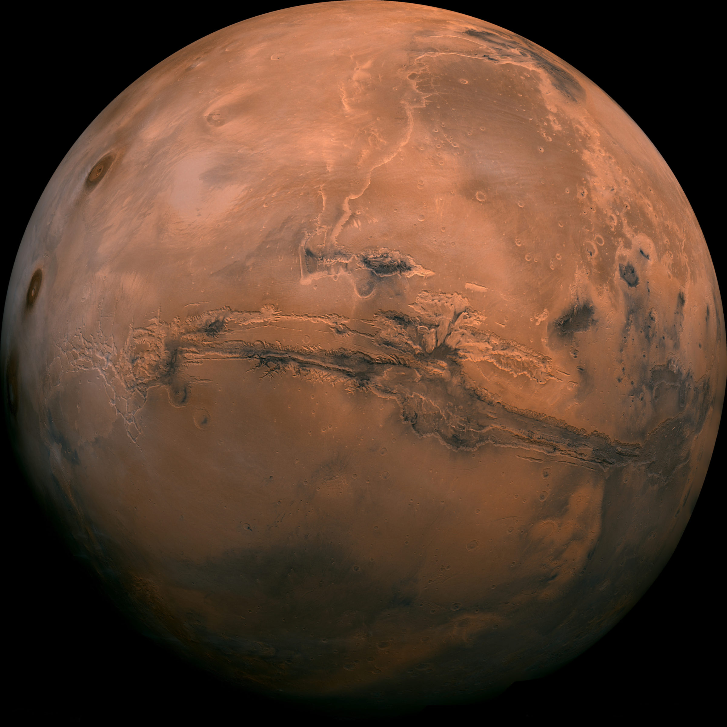
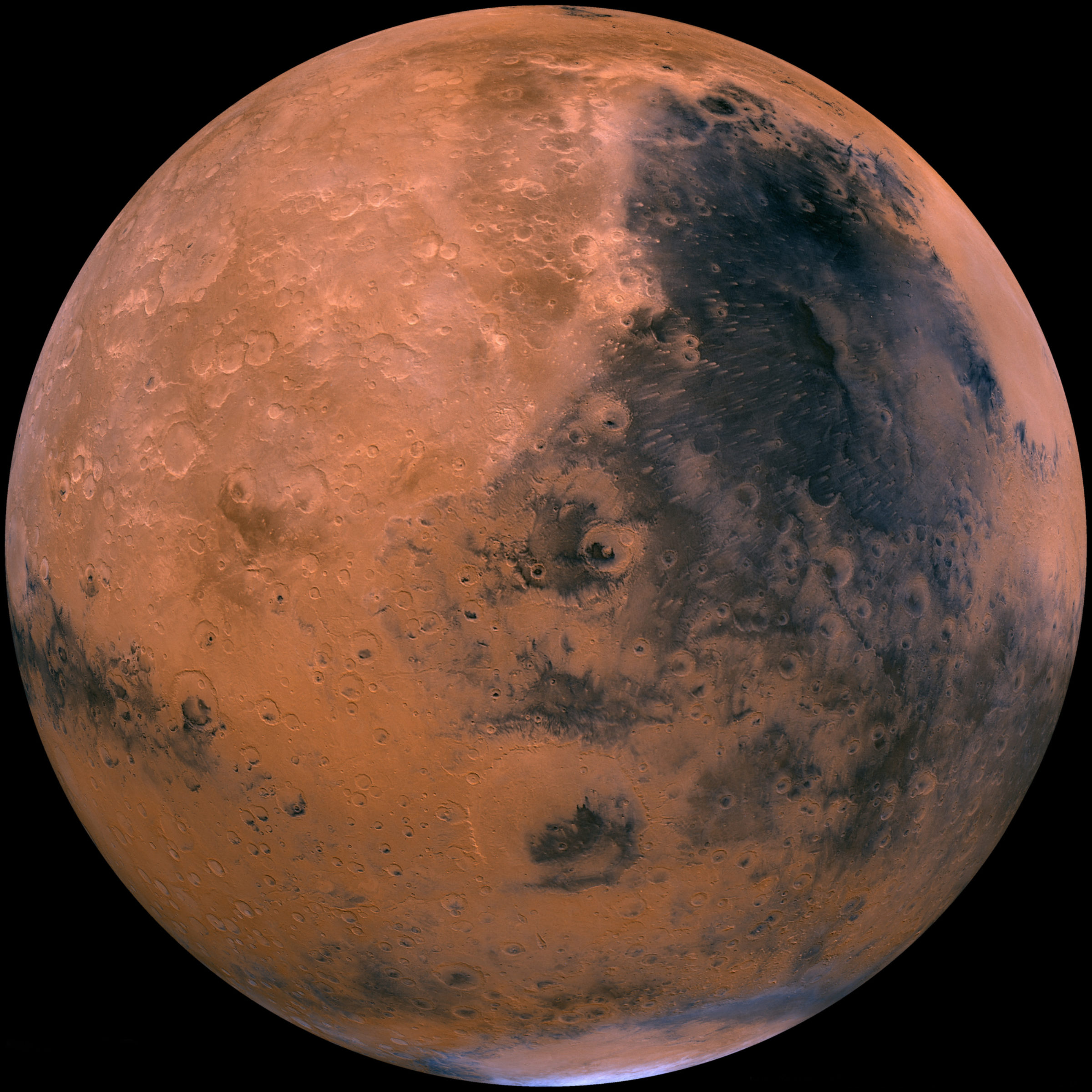
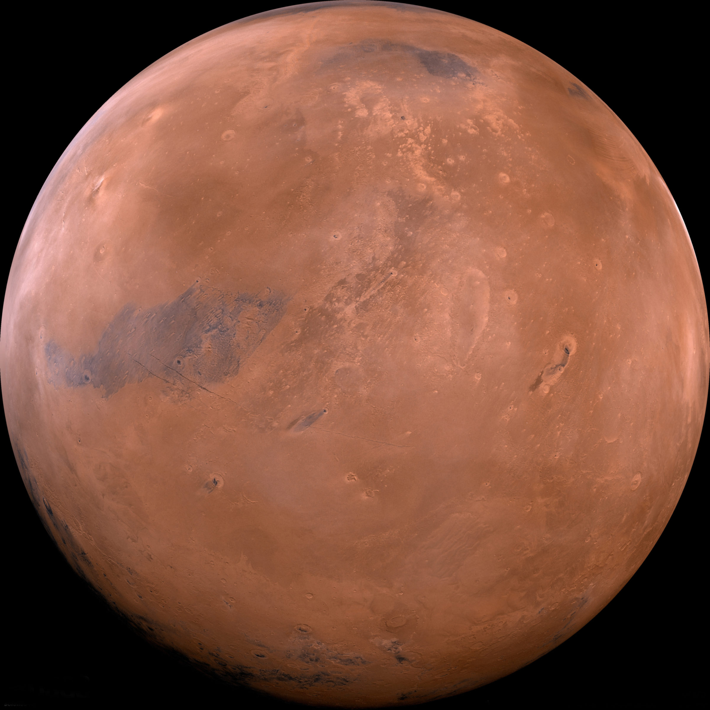
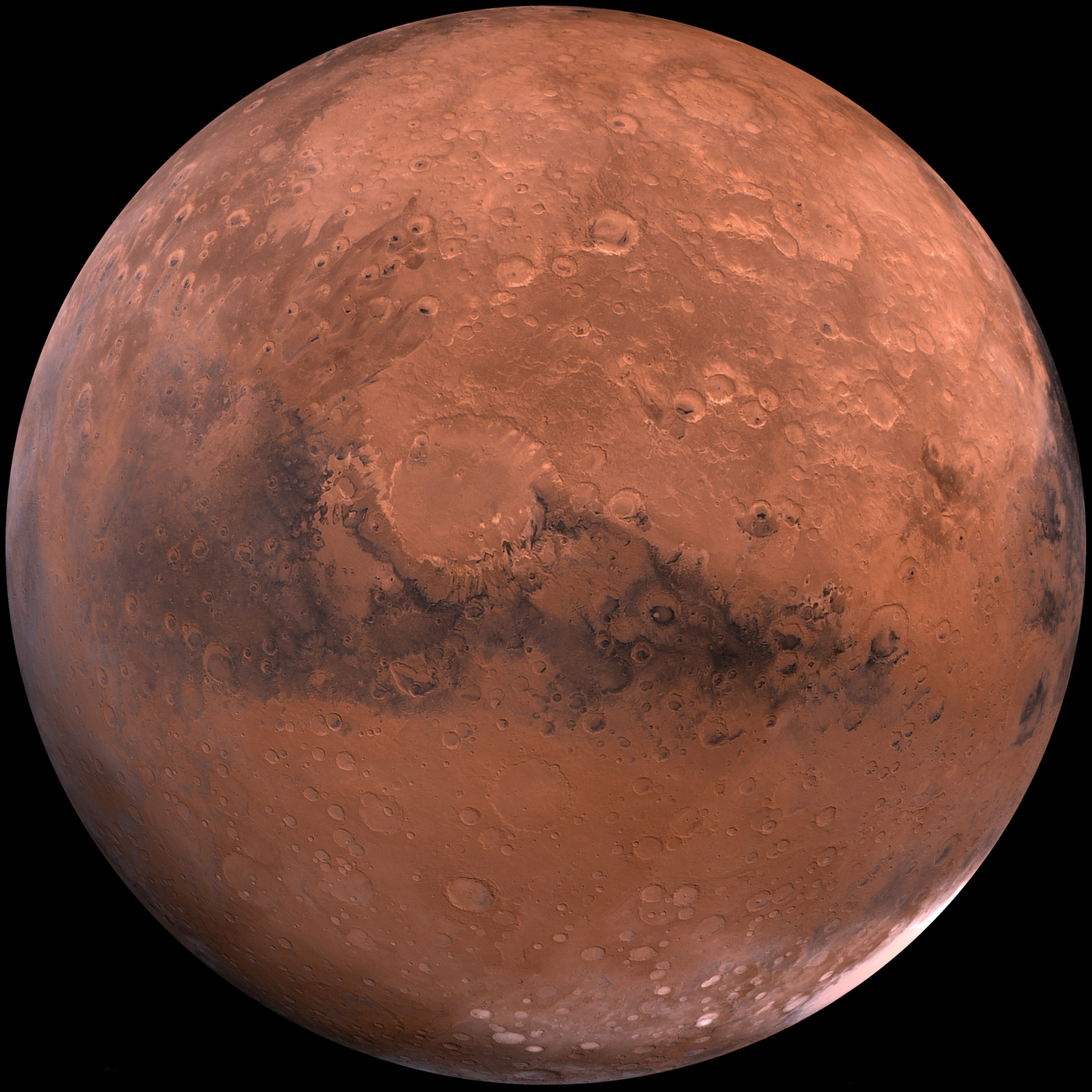
The U.S. Geological Survey combined those images into a series of extraordinary mosaics. Instead of focusing on one region or feature on the surface, these new compilations recreated how the entire face of Mars would look to an observer in a spacecraft flying about 2500 kilometers above the ground. These USGS hemispheric mosaics were prepared in high resolution and somewhat enhanced color. The result is a crisp, clear studio portrait of a planet. There's a word that's highly overused when describing pictures from space, but these images are, in fact, stunning.
The first mosaic below is one of the most commonly-used pictures of Mars. It includes a couple of particularly striking features: the hemisphere-wide gash of Valles Marineris, and three towering volcanoes in Tharsis.

But it's not the only portrait in the series. Here are several more, some much less often seen. Together, they reveal the several faces of a world. For all the excitement of following the rovers as they pick their way carefully through an explorer's playground in Gale and Endeavour, it's refreshing to see a reminder of this planet's grand, stark sweep.


Support our core enterprises
Your support powers our mission to explore worlds, find life, and defend Earth. You make all the difference when you make a gift. Give today!
Donate

 Explore Worlds
 Find Life
 Defend Earth

