Bill Dunford • Apr 02, 2013
Ice Cap to Ice Cap with Mars Odyssey
On March 23, 2013 the Mars 2001 Odyssey spacecraft completed 50,000 orbits around the Red Planet. If it's not a mixed metaphor to call a solar-powered robotic orbiter a workhorse, then Mars Odyssey is a serious contender for the title of Workhorse of the Solar System. In December 2010 Odyssey broke the previous record to become the longest-working spacecraft at Mars.
In addition to mapping the planet, Odyssey also serves as a crucial communication link, relaying signals between Earth and several rovers as they land and drive on the Martian surface.
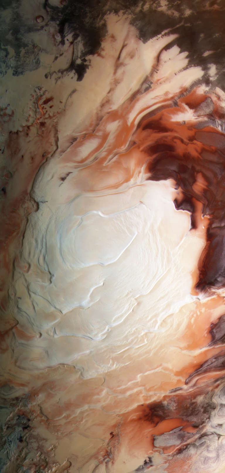
Since the spacecraft entered orbit in October of 2001, the teams managing Odyssey's thermal emission imaging system have captured nearly 670,000 images in visible and infrared light. Those images provide an outstanding overview of even the far reaches of the Red Planet. Countless thousands of craters and canyons are captured as long swaths of terrain in the pictures Odyssey sends down. There are so many great views, in fact, that it can be hard to narrow them down. The images below have one thing in common: they all lie roughly along the same line running from the north pole to the south pole of Mars, at 256 degrees east longitude. This line crosses the terraced ice fields of the north polar cap, through the deep troughs of Tantalus Fossae, up the towering volcanic slopes of Ascraeus Mons, down into the twisted maze of Noctis Labyrinthus, across the plains of Syria Planum and Phoenicius Lacus, before finally crossing into the complex formations at the south polar ice cap.
Including that entire journey in pictures would make for an impossibly long page, so I've only included some of the highlights, arranged from north to south.
Even so--prepare to scroll!


This treasure trove of data and images will only grow as Mars Odyssey and the people who fly it continue to add to their long years of work.
Support our core enterprises
Your support powers our mission to explore worlds, find life, and defend Earth. You make all the difference when you make a gift. Give today!
Donate

 Explore Worlds
 Find Life
 Defend Earth

