Ryan Anderson • Feb 03, 2009
New Google Mars
This article originally appeared on Ryan Anderson's "The Martian Chronicles" blog and is reposted here with permission.
Google Earth's latest edition was just released and guess what? It has a Mars setting! There was a way to overlay Mars data on the Earth globe in previous versions, but now that's no longer necessary: just click a button and you're on Mars. You can choose from a variety of global maps including topography, Viking images, Day and nighttime infrared, and visible color. It also has footprints for high resolution cameras like HiRISE, CTX, MOC, CRISM, and HRSC, with links to the full-resolution images. And most exciting, it has 3D topography! Now you can fly around in Valles Marineris or check out the view from Olympus Mons.
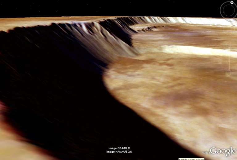
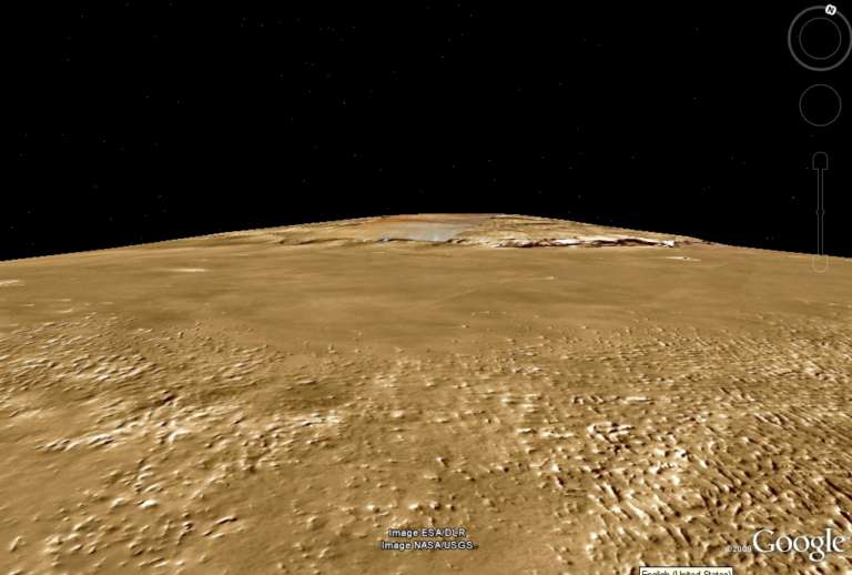
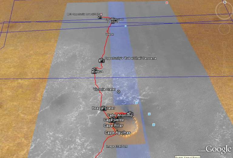
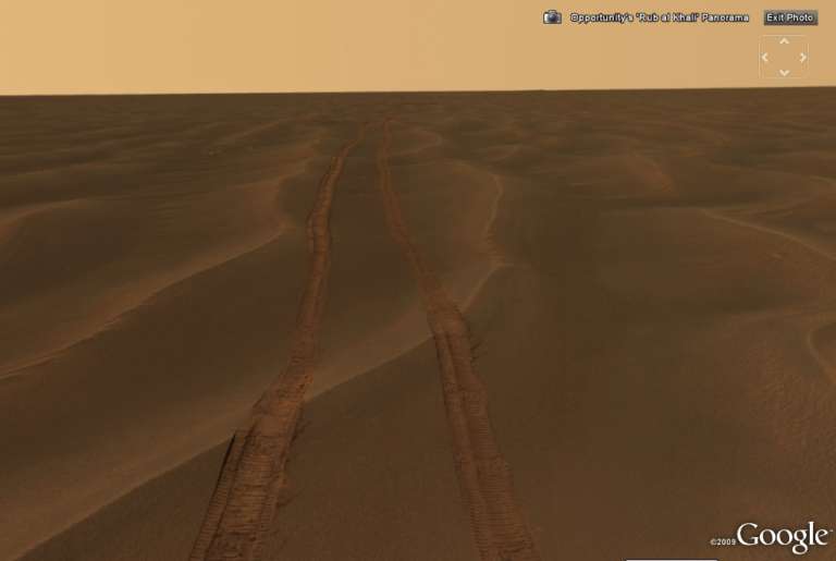
Another way-cool feature is the ability to zoom into panoramas taken by rovers and landers, as shown here for Opportunity.
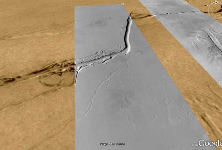
And finally, you can load selected Context Camera images right onto the globe, to take a high-res look at areas of interest, such as the Olympia Fossae troughs shown here. I don't know what' you're waiting for: go download the program and try this out for yourself!
Support our core enterprises
Your support powers our mission to explore worlds, find life, and defend Earth. You make all the difference when you make a gift. Give today!
Donate

 Explore Worlds
 Find Life
 Defend Earth

