Justin Cowart • Nov 04, 2016
Capturing Martian Weather in Motion
Still images of Mars often give us a false impression that Mars is a dead planet, with nothing going on other than the occasional dust storm. Do a quick image search for Mars and most of the results are mosaics designed to show Martian geography, not meteorology. But these images don’t tell the planet’s full story. Martian weather is dynamic, with water ice cloud streets forming around the polar areas, cold fronts pushing through the midlatitudes and raising dust storms, and thin hazes forming as air flows around topographic obstacles like volcanoes and crater rims.
No space agency has deployed a dedicated weather satellite to Mars, so we can’t watch these systems form and move across the surface like we can with the spectacular images of Earth returned by satellites like Himawari-8. In fact, the only instrument dedicated to monitoring Martian weather, the Mars Color Imager (MARCI) onboard the Mars Reconnaissance Orbiter, can only image a location on the Martian surface once per day (with the exception of some areas near the poles).
Fortunately for Martian weather enthusiasts, there is a way to get a glimpse of weather in action at the Martian surface. The High Resolution Stereo Colour Imager (HRSC) instrument onboard Mars Express was designed to produce stereographic color maps of Mars. To do this, HRSC uses a set of 9 pushbroom sensors. Four of these sensors image the surface in color at blue, green, red, and near-IR wavelengths. The other five collect stereo and photometric data using broadband filters that cover the same roughly the same spectral range. The sensors are mounted at different angles, looking between 20 degrees ahead and behind the spacecraft. Parallax from the five different viewing angles allows mission scientists to create DEMs of the surface with 10 to 15 meter vertical resolution.
That’s the intended purpose, anyway. The offset viewing angles for the sensors onboard the spacecraft allow for something else: time-lapse images. The imaging setup means that the first imaging channel sees the surface about 70 seconds before the last. If the wind is blowing at the surface, the time between sequential images is just long enough that the motion of dust clouds is visible. If clouds are at higher altitude, then the parallax also shows up as motion. The color data can then be overlain to colorize the scene.
Here are a few examples I put together from Mars Express HRSC data sets acquired in June 2011. They image several different areas in the northern hemisphere during the height of the dust storm season. Although these storms remained relatively local, storms like these are often the precursors of much larger global dust storms that can enshroud the entire planet.
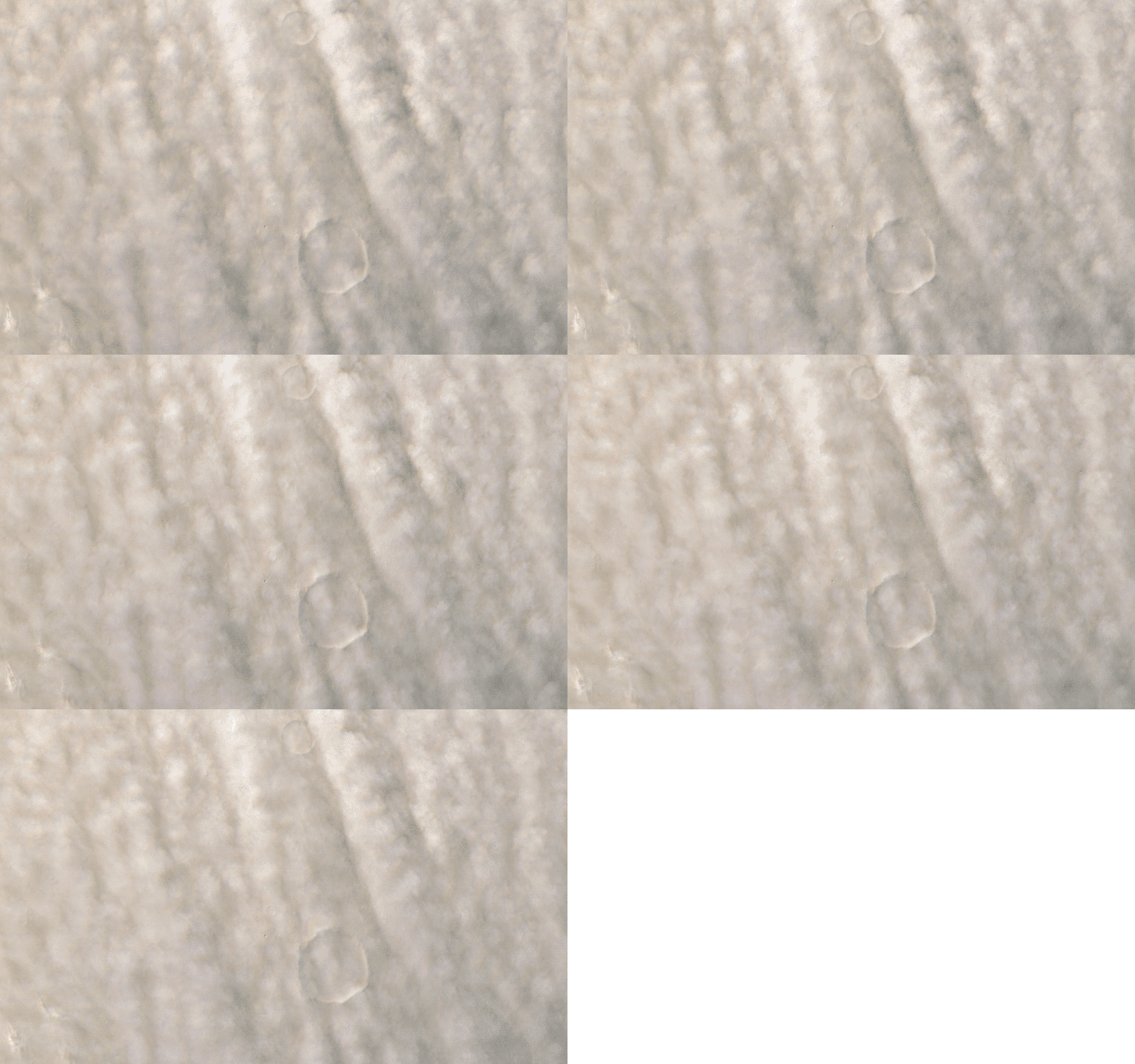
For example, here is dust being lifted by a cold front dropping southeastward across Tempe Terra on June 17, 2011. This zone of activity grew into a major regional storm that then propagated 5,500 km southward over the next two days before dying out over the Argyre Basin region. The streamers are at ground level, so their motion is almost entirely to the movement of wind. The puffy clouds of dust are at higher altitude, and their apparent motion in the opposite direction of wind movement is almost entirely due to parallax from Mars Express’ orbital motion.
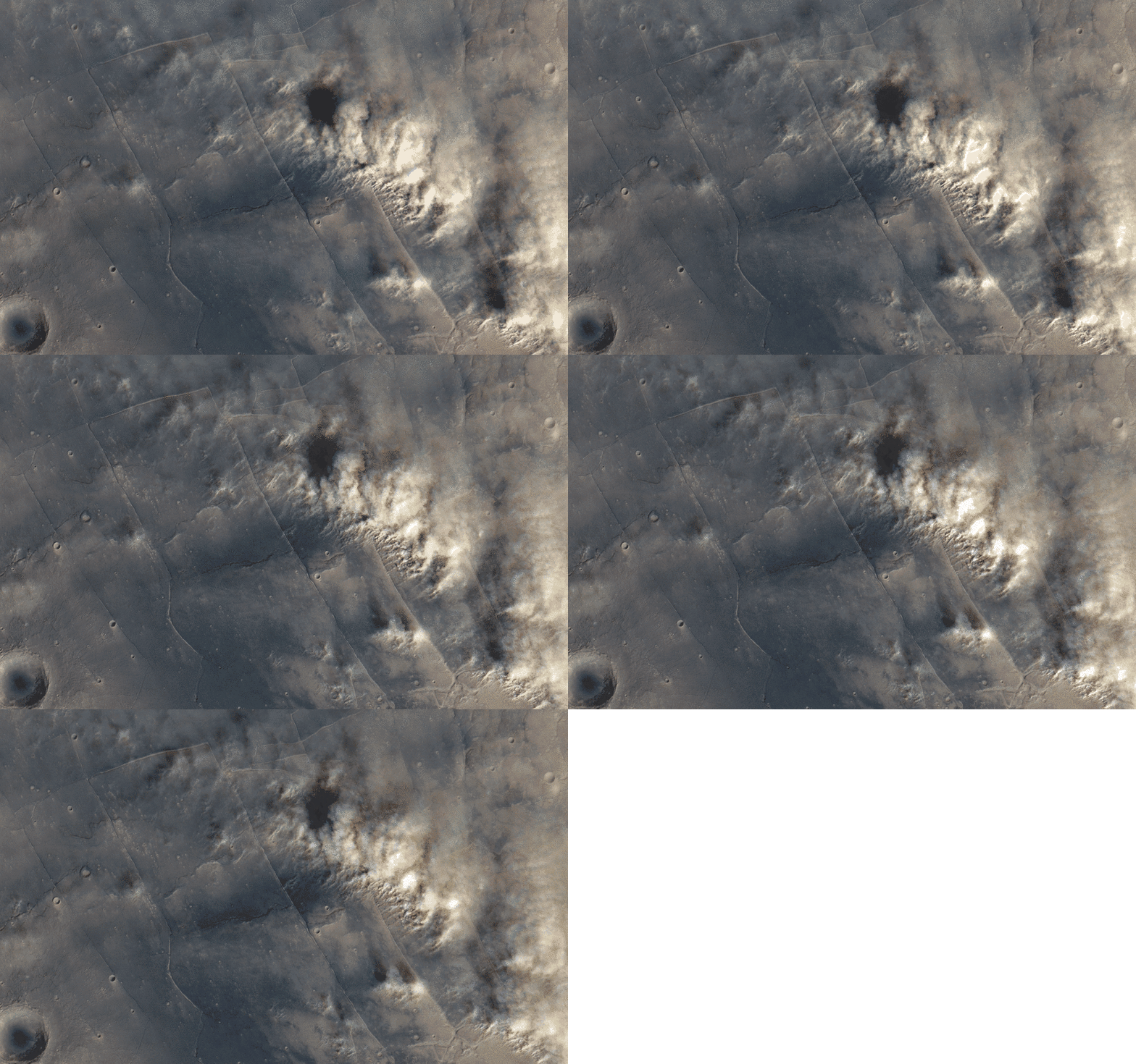
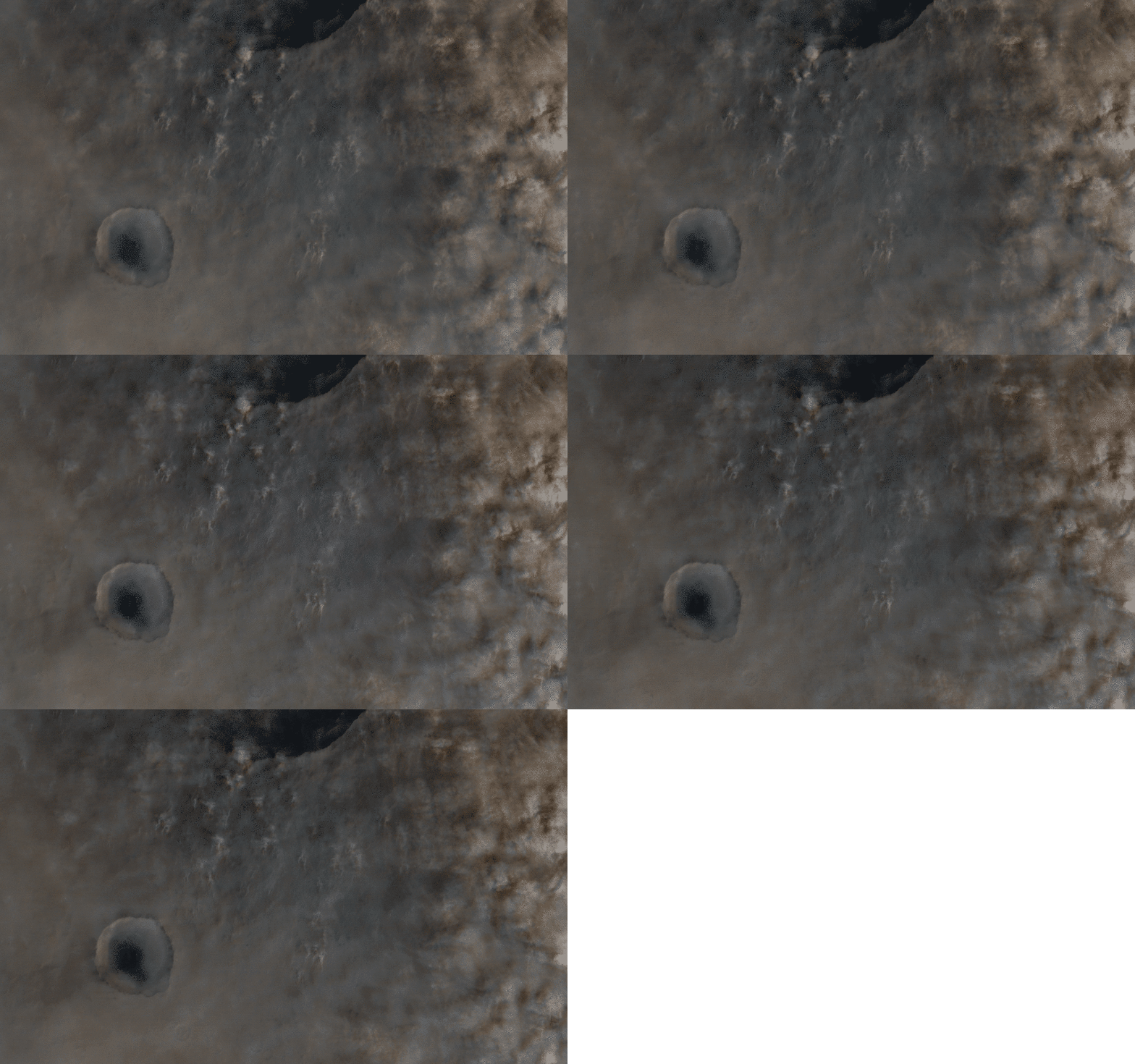
A Mars Express overflight of eastern Arcadia Planitia on June 30, 2011 captured several different cloud types. On the leeward side of the 118 km Milankovic Crater, a fine haze of water ice “wake clouds” partially shrouds a scene of dust lifting. Wake clouds are a type of gravity wave, produced as air is forced upwards by a high-standing topographic feature like a crater rim. In the wake of the crater, the airflow several times in a standing wave pattern. The light streaks in the center of this picture are where the air is travelling upwards and crystallizing a fine cloud of water ice during the ascent. The dark streaks are where the air is sinking, causing the water ice to sublimate.
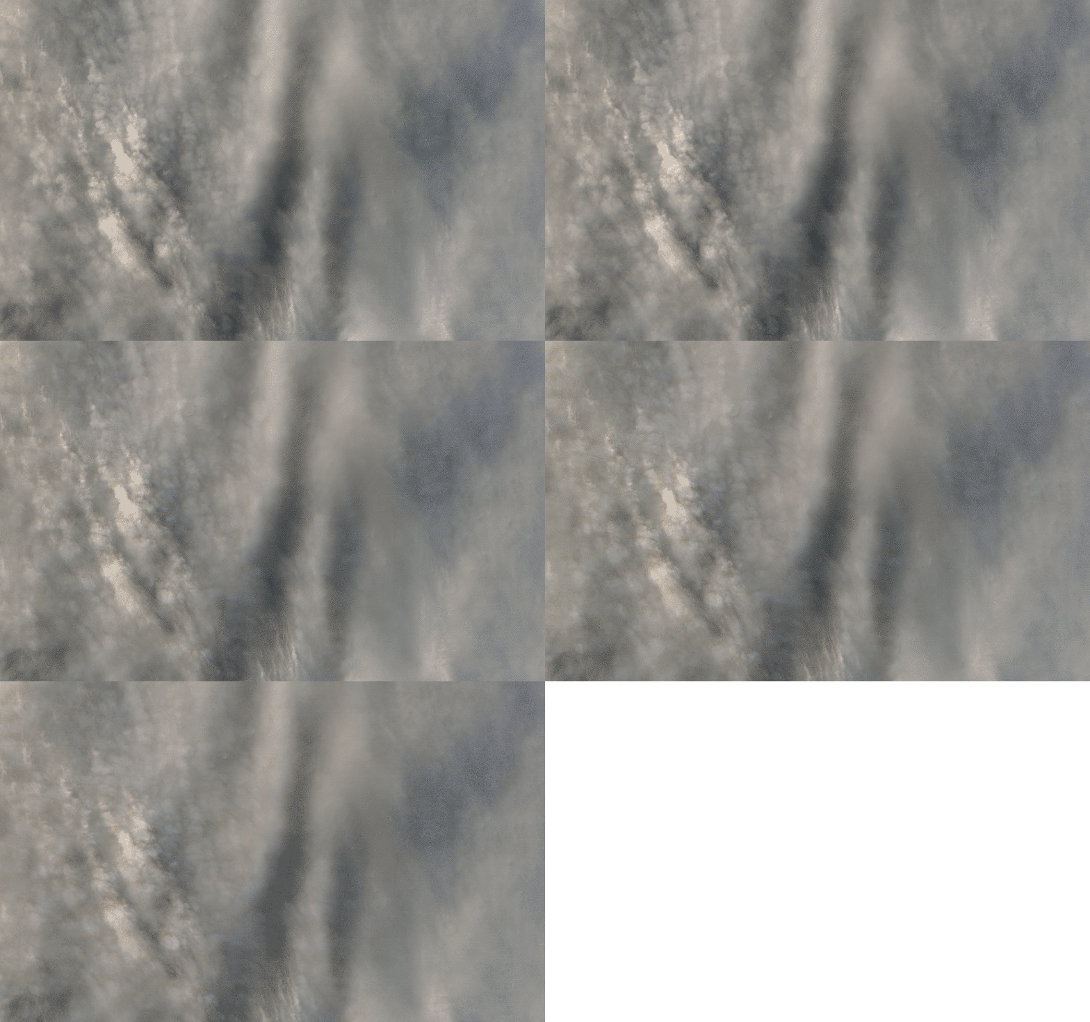
Thin cumulus clouds are also seen drifting over a pair of unnamed craters further south. The narrow bands of clouds are called cloud streets, and form as cold air moves in behind a front.
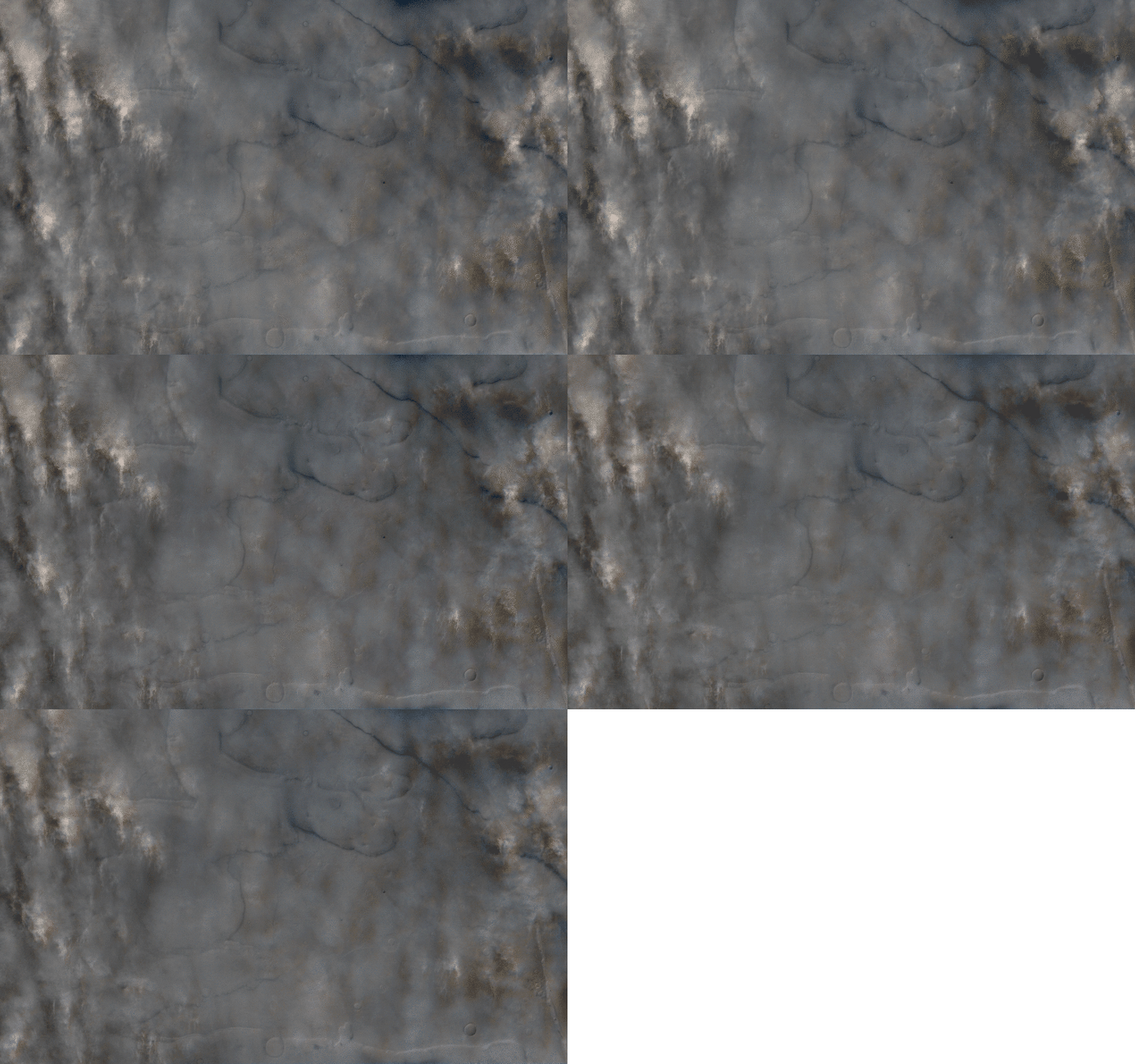
Also on June 30, Mars Express imaged a different region named Deuteronilus Mensae. This area is full of rugged canyons where the highlands and lowlands meet. The dust storm seen here was short-lived, but it did provide some beautiful shots of the surface.
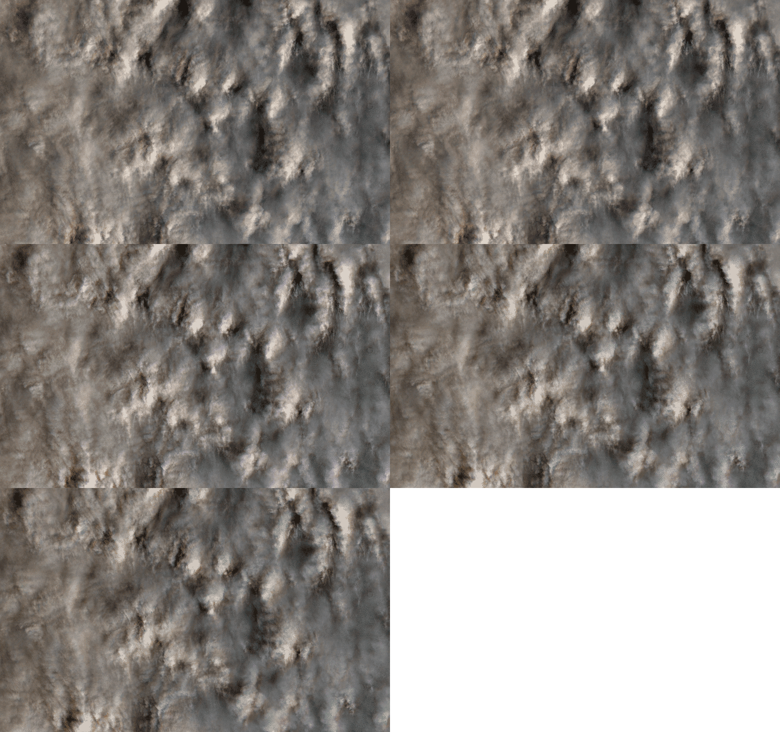
These images are only a small portion of the bounty hiding in the HRSC archives. The camera has operated at Mars since 2005, and in the thousands of images it has taken of the Martian surface, clouds are present in more than a few. I’d like to encourage other amateur image processors to dig into the archives and track these types of images down. They show Mars as it really is: a quiet but dynamic world.
Before I sign off, I’d like to thank Thomas Appéré and Emily Lakdawalla for their discussion on Twitter concerning HRSC time-lapse images for giving me the idea to do this.
Support our core enterprises
Your support powers our mission to explore worlds, find life, and defend Earth. You make all the difference when you make a gift. Give today!
Donate

 Explore Worlds
 Find Life
 Defend Earth