Tanya Harrison • Jul 24, 2015
Help map Mars' south polar region!
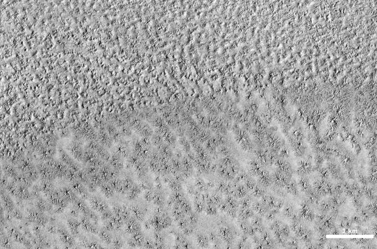
The science team of NASA's Mars Reconnaissance Orbiter (MRO) wants your help in mapping out the weird and wonderful features of Mars' south polar region! In partnership with Zooniverse, they've launched a new website called Planet Four: Terrains. The site asks users to browse through MRO Context Camera (CTX) images and identify key features in order to aid in finding targets for the High Resolution Imaging Science Experiment (HiRISE) camera, also aboard MRO.
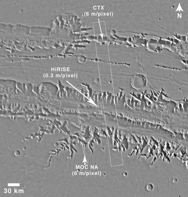
One of the main uses of CTX is to provide—as the name suggests—context for HiRISE images. This is because CTX provides moderately high resolution (6 m/pixel) coverage over large areas, while HiRISE provides ultra-high resolution coverage (up to 25 cm/pixel) with a much smaller footprint. The two cameras work in concert to help paint a picture of Mars' surface.

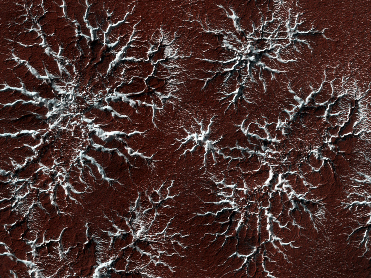
Planet Four: Terrains lets users research the different types of features they will encounter around the south pole of Mars, including what these features look like at CTX scale and how scientists think they formed. These features include the descriptively named "spiders" and "Swiss cheese terrain". (There are even "baby spiders"—how cute is that?)
Spiders are thought to form from the release of CO2 gas. There is no known Earth analogue—so far they appear to be an uniquely martian feature. In late fall into winter in Mars' south polar region, CO2 ice deposits onto the surface. Sunlight then penetrates through the translucent layer of ice, warming the underlying ground. This causes the ice to sublimate at the ice-ground boundary, carving channels (the "spiders") into the ground beneath the seasonal layer of ice. The spiders are then exposed in spring and summer as the seasonal ice layer sublimates away entirely.


Swiss cheese terrain only occurs in the southern polar ice cap of Mars. The terrain consists of pits and scarps in the CO2 ice, which are actually actively eroding on Mars today as discovered with the narrow-angle Mars Orbiter Camera (MOC NA) aboard Mars Global Surveyor back in 2001. Their erosion arises from differing rates of CO2 ice deposition and accumulation over multiple seasons. The pits eventually form in places where the net rate of CO2 ice sublimation is higher than the net accumulation.

In addition to image guides to teach users what to look for, the website includes a forum where users can interact, ask questions, and discuss their observations. From looking at the forum, it looks like the site has already attracted some enthusiastic citizen scientists!
You can read more about the work behind the Planet Four: Terrains project on the team's blog.
Support our core enterprises
Your support powers our mission to explore worlds, find life, and defend Earth. You make all the difference when you make a gift. Give today!
Donate

 Explore Worlds
 Find Life
 Defend Earth

