Bruce Murray Space Image Library

Candor Chasma animation using HiRISE Digital Terrain Model

This content is hosted by a third party (youtube.com), which uses marketing cookies. Please accept marketing cookies to watch this video.

This animation flying over southwest Candor Chasma on Mars was created from digital terrain model (DTM) data from the Mars Reconnaissance Orbiter HiRISE camera.
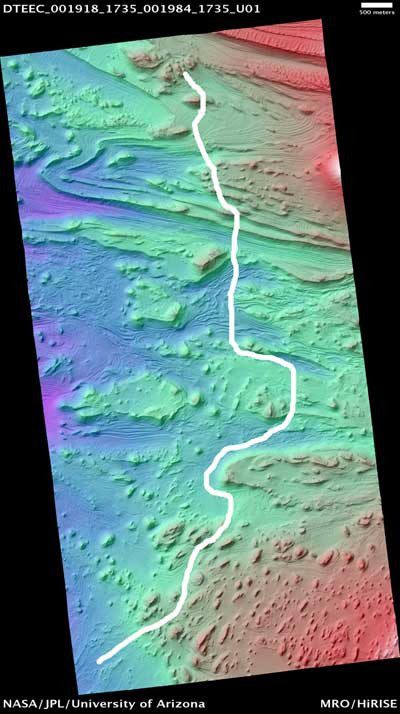
Flight path for Mars3d Candor Chasma animation
Flight path for Mars3d Candor Chasma animation This cartoon shows, in white, the approximate flight path of the viewer through the Mars3D animation of Candor Chasma, Mars. The base map is a digital terrain model derived from HiRISE camera data, color coded by elevation: purples and blues are low, greens intermediate, and red and white high.Image: NASA / JPL-Caltech / UA / Adrian Lark